
Combining data across mismatched maps is a crucial challenge in global health and environmental research. A new modeling approach has been developed to facilitate the faster and more accurate integration of spatially misaligned datasets, including predictions for air pollution and disease mapping. The study, published in the journal “Stochastic Environmental Research and Risk Assessment,” sheds light on this innovative method.
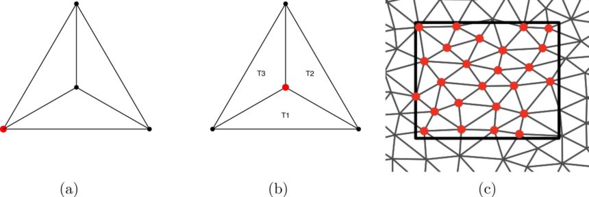
Datasets that describe socio-environmental factors, such as disease prevalence and pollution, are collected on various spatial scales. These datasets range from point data values for specific locations to areal or lattice data, where values are aggregated over larger regions like countries.
Addressing this technical challenge, biostatistician Paula Moraga and her Ph.D. student Hanan Alahmadi at KAUST developed a powerful modeling approach. Their research group focuses on developing innovative methods for analyzing geographical and temporal disease patterns, quantifying risk factors, and enabling early disease outbreak detection.
The new model, based on a Bayesian approach, aims to integrate large spatial datasets efficiently. Typically, Bayesian inference is performed using Markov chain Monte Carlo (MCMC) algorithms, which explore datasets through a “random walk.” However, to enhance computational efficiency, the researchers utilized the Integrated Nested Laplace Approximation (INLA) framework instead of MCMC.
Unlike MCMC, which relies on sampling, INLA uses deterministic approximations to estimate posterior distributions efficiently, making it significantly faster while still providing accurate results. The researchers demonstrated the model’s efficacy by integrating point and areal data in case studies on malaria prevalence in Madagascar, air pollution in the United Kingdom, and lung cancer risk in Alabama, U.S.
The model prioritizes point data due to their higher spatial precision and reliability for detailed predictions. However, the influence of areal data was more significant in the air pollution study due to their finer resolution, making them more informative and complementary to point data.
The project aims to provide data analysis tools that support evidence-based decisions in health and environmental policy. By enabling quick assessment of disease prevalence, public health officials can allocate resources and intervene in high-risk areas more effectively. The model can be adapted to capture dynamic spatial and temporal changes and address biases arising from preferential sampling in certain areas.
Future applications of the model include using satellite pollution data to estimate disease risks and monitoring air pollutants to support Saudi Arabia’s net-zero goals. This innovative approach holds promise for enhancing decision-making in public health and environmental policy realms.