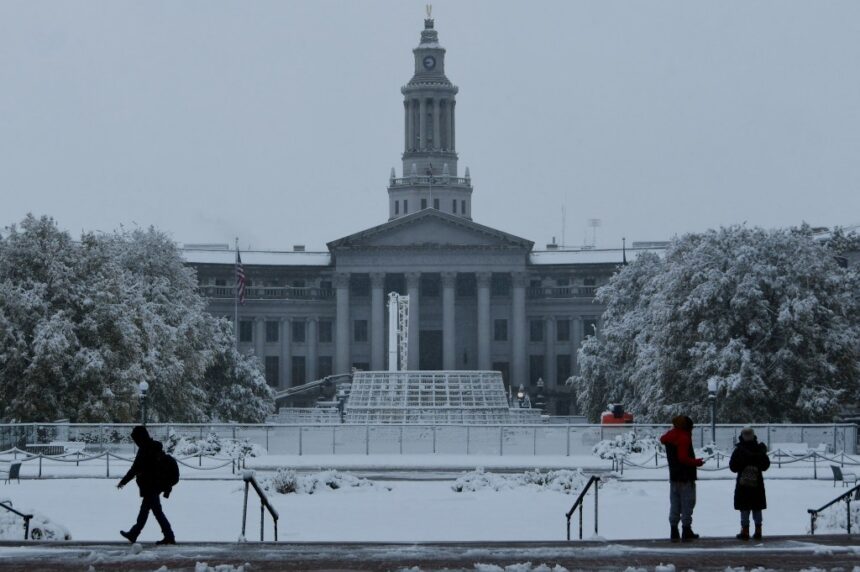
A new round of winter weather is set to hit Colorado’s Front Range and Eastern Plains on Friday, bringing treacherous road conditions and the potential for nearly 3 feet of snow in some areas.
According to forecasters, Metro Denver and the southern foothills are expected to see snow accumulation ranging from 7 to 14 inches starting Friday morning and continuing into Saturday. The heaviest snowfall is anticipated along Interstate 70 and to the south.
The National Weather Service issued a winter storm warning, stating that travel will be impossible east and southeast of Denver. Residents in rural areas of eastern Douglas, Elbert, Lincoln, and southern Washington counties should prepare to be stranded for several days.
Historic snow accumulation is expected in Elbert and Lincoln counties, with some areas potentially receiving nearly 3 feet of snow. The evening commute in the metro area is expected to be difficult as heavy snowfall is forecasted to start around noon and continue at a rate of 1 to 2 inches per hour into the evening.
Colorado Department of Transportation officials are advising drivers to avoid traveling east of Interstate 25 and south of Interstate 76 to the New Mexico and Kansas state lines due to treacherous winter conditions. CDOT Director of Maintenance and Operations, John Lorme, warned that the next round of the storm is expected to be worse than the current conditions.
Moderate to extreme impacts are expected throughout the eastern half of the state, particularly on the Eastern Plains and southern Colorado. Long-term road closures are anticipated in these areas.
Northern Colorado, including Fort Collins, Greeley, and the Eastern Plains north of I-76, will likely experience milder snowfall, according to the National Weather Service.
As the winter storm approaches, it is crucial for residents to stay informed and prepared for the potentially severe weather conditions. Stay updated on the latest news by signing up for the daily Your Morning Dozen email newsletter.


